The PCC Bike Hub
Some of the main bike routes in Pasadena don’t connect. Paths through PCC could help complete the network.

The Union Street bike lane, Cordova street bike lane, and Sierra Bonita all end near PCC, but they don’t quite connect.
Paths or bike lanes at PCC can help solve the problem. Blue lines on the map show possible connections.
Bike routes should connect
Bike routes — like any transportation system — need to connect to each other into a network. It would be hard to drive if every street ended in a dead-end. Subway lines wouldn’t be much use if you couldn’t transfer to other trains or buses. In Pasadena, it seems like our car routes and bus routes connect pretty well, but our bike routes often don’t. This can be a real problem for people using bikes for transportation.
There’s an interesting gap in the bike network near Pasadena City College (PCC). Some of the city’s major bike routes almost connect here, but not quite. Sierra Bonita is a future Greenway. Union Street and Cordova both have new-ish bike lanes that could carry a person from PCC most of the way to Old Pasadena and connect to two more Greenways. San Pasqual is a relatively low-traffic street and one of the best ways to ride to East Pasadena.
If all of these routes connected, then a person coming from the Allen Street Metro station or residential neighborhoods north of the 210 freeway could ride on the Union Street bike lane to Old Pasadena, or take San Pasqual to East Pasadena. Any of these could be important routes for the thousands of students, staff, and faculty at Caltech and PCC. They could also be important routes for anyone on a bike trying to get around the city.
Paths at PCC could connect key routes
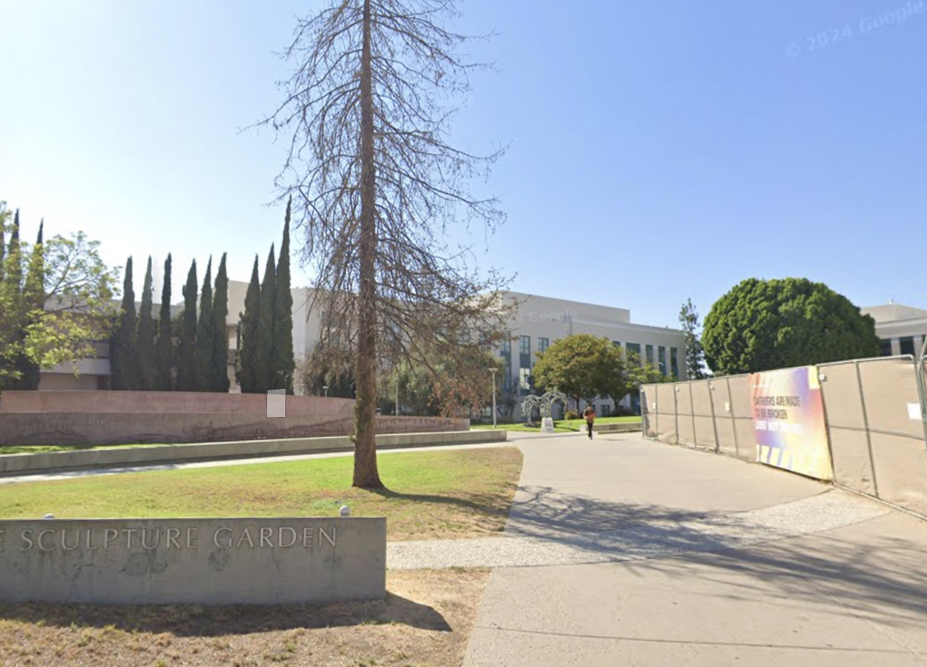
Fortunately, PCC creates an opportunity to connect these routes using off-street, multi-use paths. In fact, most of these connections are already possible today, but a bike rider has to go through a lot of trial-and-error to hunt for these secret connections and navigate some tricky obstacles. While some riders might enjoy the Zelda-like challenge of searching for secret passageways, I think most people would prefer if bike routes were clearly marked and easy to navigate.
Small changes make a big difference
There are lots of possible ways to connect the various bike routes in Pasadena. The main thing is for city officials to notice where bike routes don’t connect, and create solutions to connect them. Here, I’m going to suggest a few example solutions that could be implemented with low cost and without changing any traffic patterns. My main message, though, isn’t that the city and PCC should necessarily implement all of these solutions, or even any of them. My message is to notice that PCC borders bike routes that almost connect, and turn it into a hub of bike routes that actually connect. Some of these solutions may require partnerships between Pasadena City staff and leaders at PCC. All of them are easy to fund and easy to build. Since these projects are so close to connecting already, some small changes could make a big difference.
Possible projects at PCC
Label the sidewalk on Colorado Blvd. as a multi-use path
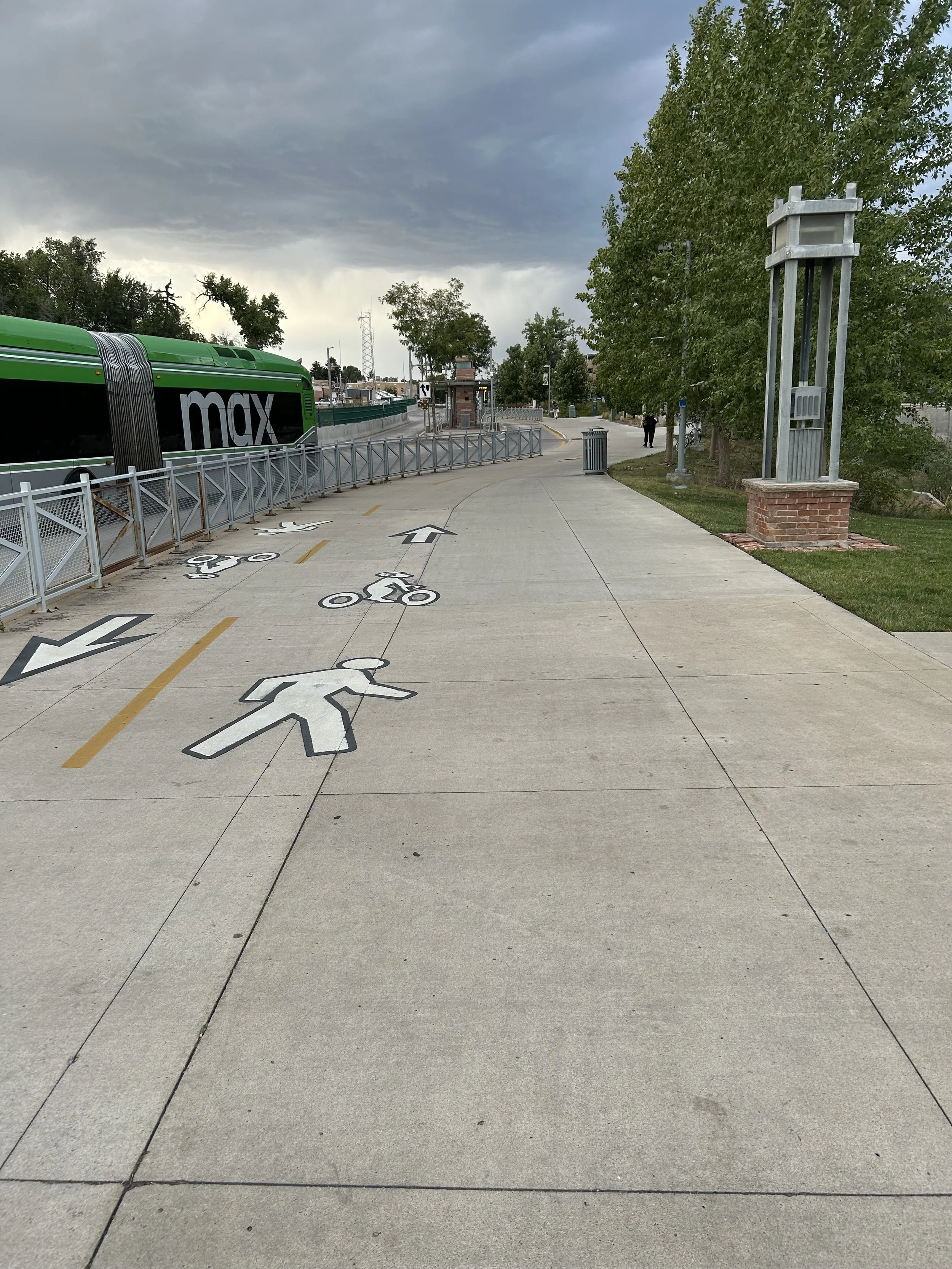
Multi-use paths are shared between people walking and people riding bikes. You may have seen paths like this on a college campus (like PCC and Caltech) or near the beach. Typically, riding bikes on sidewalks is discouraged, but slow bike riding on multi-use paths is welcome.
The sidewalk on the south side of Colorado Blvd adjacent to PCC is very wide with 12 feet of space. If this were marked as a multi-use path for a few blocks, it would connect people from the Sierra Bonita Greenway to Holliston Avenue. Holliston is already a short Greenway that connects to both Cordova Street and Union Street. This would give students at PCC an obvious path to the the Union Street bike path. On the east side of campus, the multi-use path would also connect to Bonnie (near Chick-fil-a), which is also a relatively low-traffic street and accesses a quiet ride to San Pasqual via Rose Villa and S. Meredith.
In Ft. Collins, Colorado, multi-use paths are created by painting bike and pedestrian logos on the concrete. That’s all. It is simple and requires no construction, just paint on the sidewalk. In Ft. Collins, the bike logo includes the local school mascot (a ram) riding a bike, which is both adorable and encourages school spirit. PCC could have students create logos of a Lancer on a bike and a Lancer walking, and paint these onto the sidewalk for two blocks from Bonnie to Holliston. It would be fun, educational, and a real service to the city.
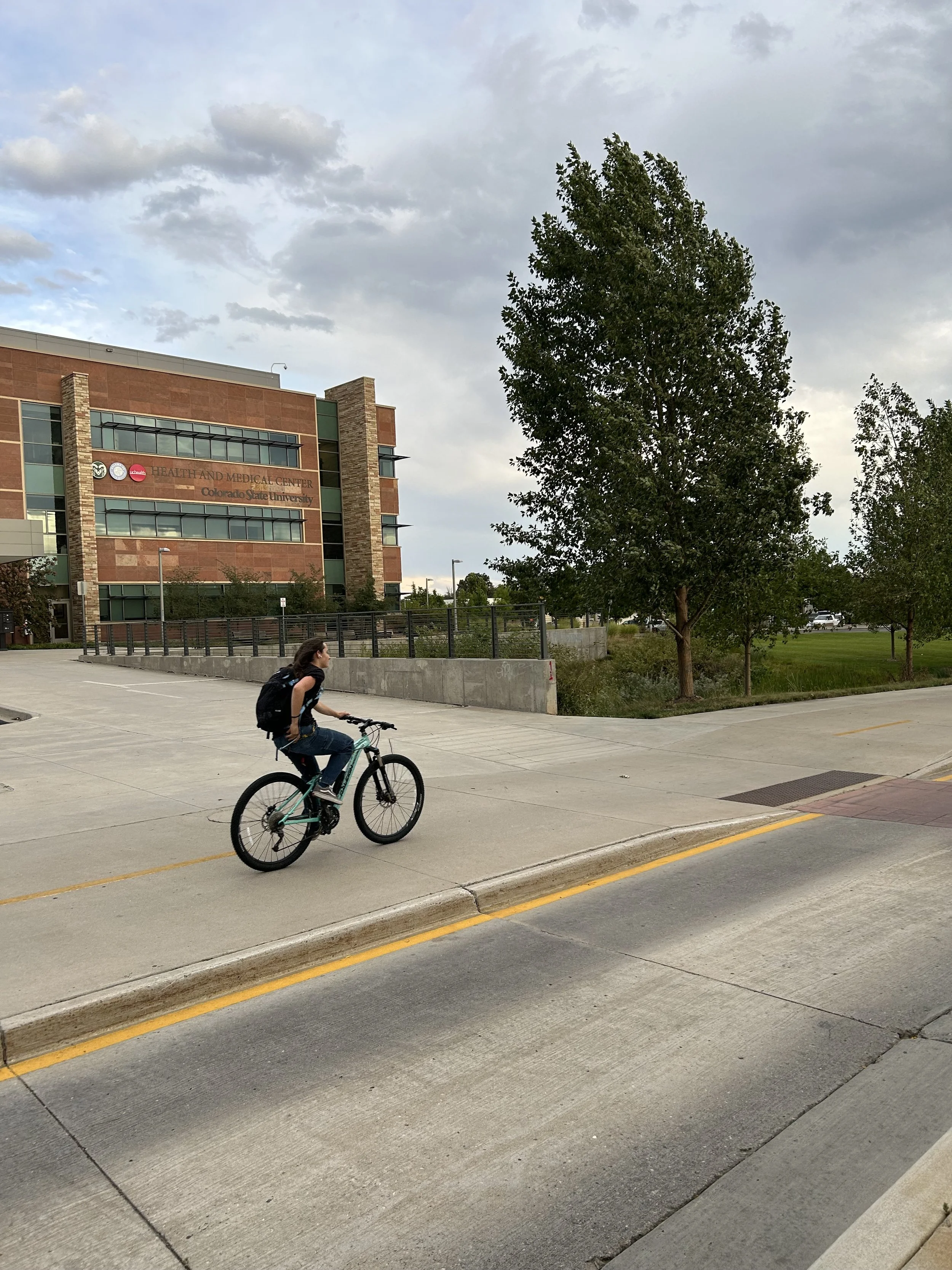
Connect Sierra Bonita to Cordova through PCC
PCC is criss-crossed with multi-use paths that students use to walk, bike, or scooter to class. These paths can be used by people on bikes to connect various bike routes. The path from Sierra Bonita to Cordova across campus is safe and comfortable. However, it requires following a complicated path through campus that can be hard to find. Adding wayfinding, like signs or paint along the paths, could help bike riders follow the right paths from Sierra Bonita to Cordova.
To cross Hill Avenue onto Cordova, bike riders can use the existing traffic signal at Hill and Cordova. To reach this point, bike riders must somehow access the PCC parking lot near Cordova. This parking lot, however, is difficult to access on a bike. To make this easier, PCC could add a 6-inch bike ramp to the existing stairs into the parking lot, or else pave a small section closer to the sidewalk so bike riders could ride into the parking lot. Maps are in the image gallery below. Either of these are small-scale construction projects that could be accomplished in a couple of days.
Connect the north and south segments of Sierra Bonita
Sierra Bonita heads away from PCC both north and south. The segment of Sierra Bonita south of PCC is very useful, as it connects to San Pasqual, and so represents a low traffic route to East Pasadena, Caltech, and South Lake Avenue. This is a great route for students looking for lunch or even a route to Playhouse Village.
There are already multi-use paths on the PCC campus connecting the two sides of Sierra Bonita. But, the route is not straight, as bike riders need to find a path around a few buildings. Wayfinding like signs or painted labels on the path could make this much easier. I’ve talked with a few other bike riders who don’t know about this secret route.
In addition, the path includes a ramp near the PCC football stadium. The ramp is somewhat narrow and a little awkward for bike riding. Making the ramp wider, broadening the curb ramps, and other small improvements might make this part of the route a little easier. There is an existing traffic signal at Sierra Bonita and Del Mar, so crossing Del Mar is pretty easy. But, waiting for a green light on the narrow sidewalk at Del Mar can be unpleasant. This could be improved by adjusting the signal timing so that people on bikes or walking don’t have to wait so long for a green light.
Add a short bike lane on Hill
Hill Avenue has four car-travel lanes north of Del Mar, but drops to two car-travel lanes south of Del Mar. If this transition from 4-lanes-to-2 were made at Colorado instead of Del Mar, that would create space for short protected bike lanes along Hill Avenue to connect Cordova street, Green Street, and Colorado Boulevard. This would allow bike riders to more easily connect from Sierra Bonita to Cordova. Extending the bike lane south of Del Mar could connect to San Pasqual and Caltech, which is possible since the existing parking lanes are overly wide.
For extra-super-bonus points, the bike lane could also be extended one block further north to Union Street. Then, bike riders who reach the end of the Union Street bike lane would be greeted with a protected bike lane to PCC instead of getting dumped into high speed traffic on Hill Avenue.
Upgrade the Maple and Corson Street bike lanes
The Allen Metro Station is the closest metro station to PCC, and is a short 5 minute bike ride from campus. This can be most easily done by using the Corson or Maple street bike lanes to connect from Allen Station to Sierra Bonita.
The good news is that Maple street and Corson street already have painted bike lanes. The bad news is that these bike lanes are terrible, because they are paint-only bike lanes with no buffer next to high speed traffic. But, this can be easily fixed. The car travel-lanes on these streets are too wide (about 12’ each), and the bike lane is too narrow. The obvious solution is to re-paint the car-lanes to the Pasadena standard 10’ width, which would create 4 feet of extra space to add protection or a painted buffer for the bike lane. Making these bike lanes safer and more inviting would create an obvious path for students to travel from PCC to the Allen metro station, and also open up this route for all riders in the city to use.
Upgrade the curb ramp at Sierra Bonita and Colorado
The future Sierra Bonita Greenway will dead-end at PCC. The existing curb ramp at that intersection is on the left side of the street when facing north. That means students leaving PCC and headed north to the Metro station roll into the opposing lane of traffic. This could be easily fixed by widening the ramp to span both lanes, or else adding a second ramp on the right side of the intersection. This is a small change that potentially could be included in the Greenway construction.
Making the connection
PCC is an excellent institution that helps so many people make connections. Students get connected to education, four year colleges, and careers. All members of our community can get connected to skills and like-minded neighbors through adult education classes.
Here is an opportunity for PCC to create physical connections as well, by becoming a hub that connects bike routes across the city. Allen Street metro station, homes north of the 210 freeway, and Old Pasadena can all be connected by bridging small gaps across the PCC campus. I hope leaders at PCC will partner with Pasadena City staff to provide yet another incredible service to our community.